Romania is currently hosting an important stage of the international competition "Digital Twin for Borders", organized under the aegis of the FRONTEX Agency, through the FRONTEX R&D Pathfinder (RPD) research-development-innovation framework. The competition aims to develop advanced technological solutions for the digital modeling of the European Union's external borders - the so-called "digital twins" - in order to simulate complex operational scenarios relevant to integrated border management.
The overall aim of the competition is to create a dynamic digital model that accurately reproduces the border environment (terrain, vegetation, climate, infrastructure, risk conditions, etc.) and allows for the testing, in real time, of different deployment modes of equipment and intervention forces. This digital model is designed to become an essential tool for tactical and strategic decisions in the protection of the EU borders.
Current stage: Romania - testing ground
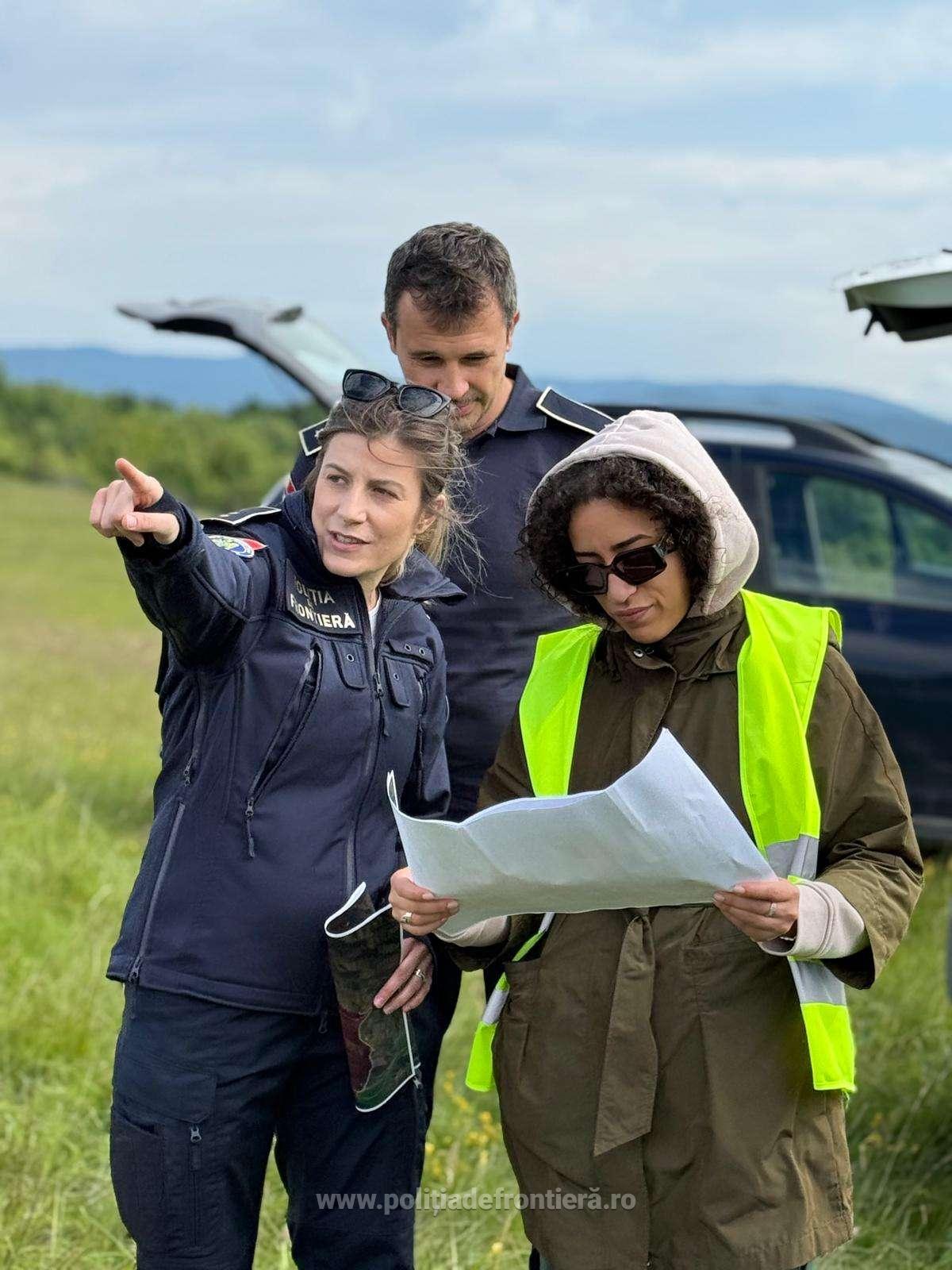
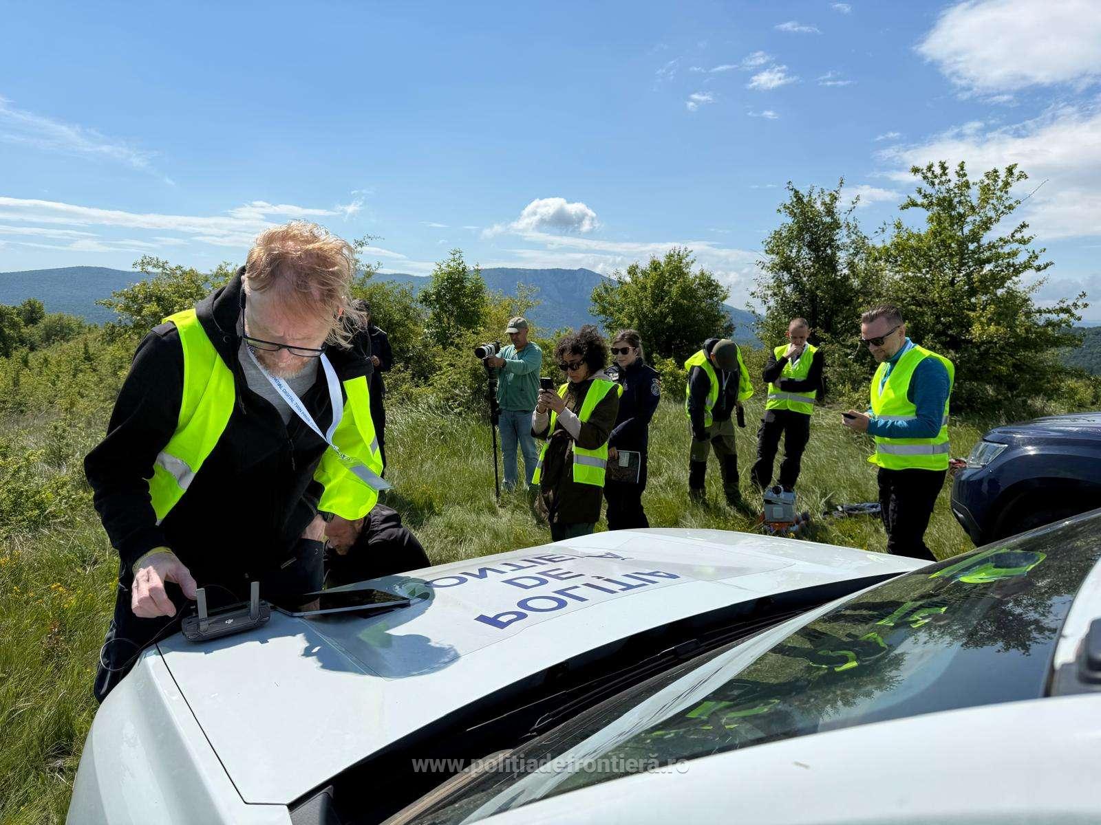
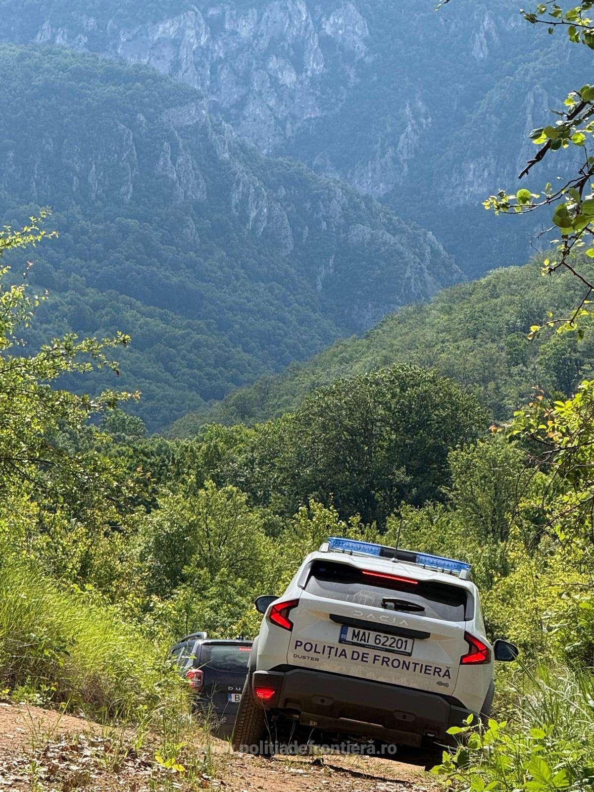
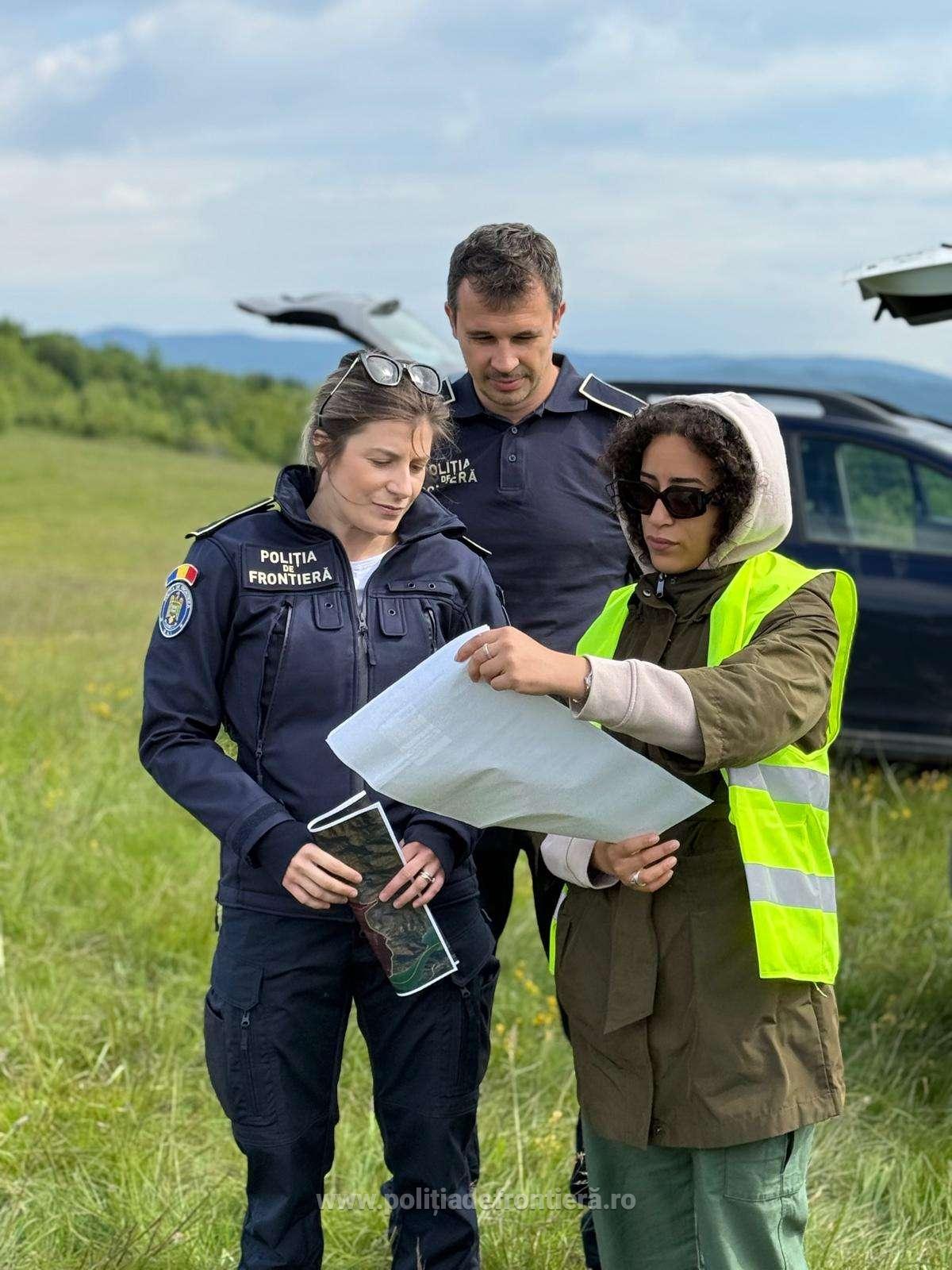
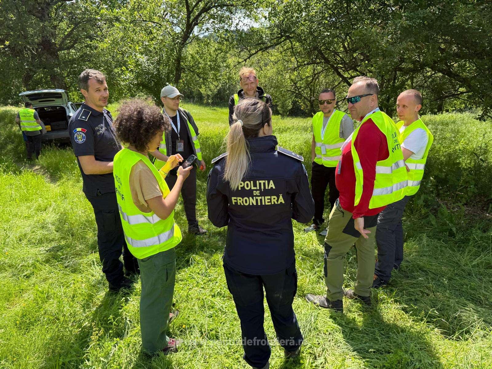
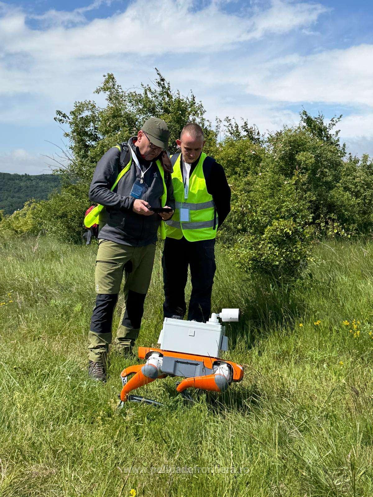
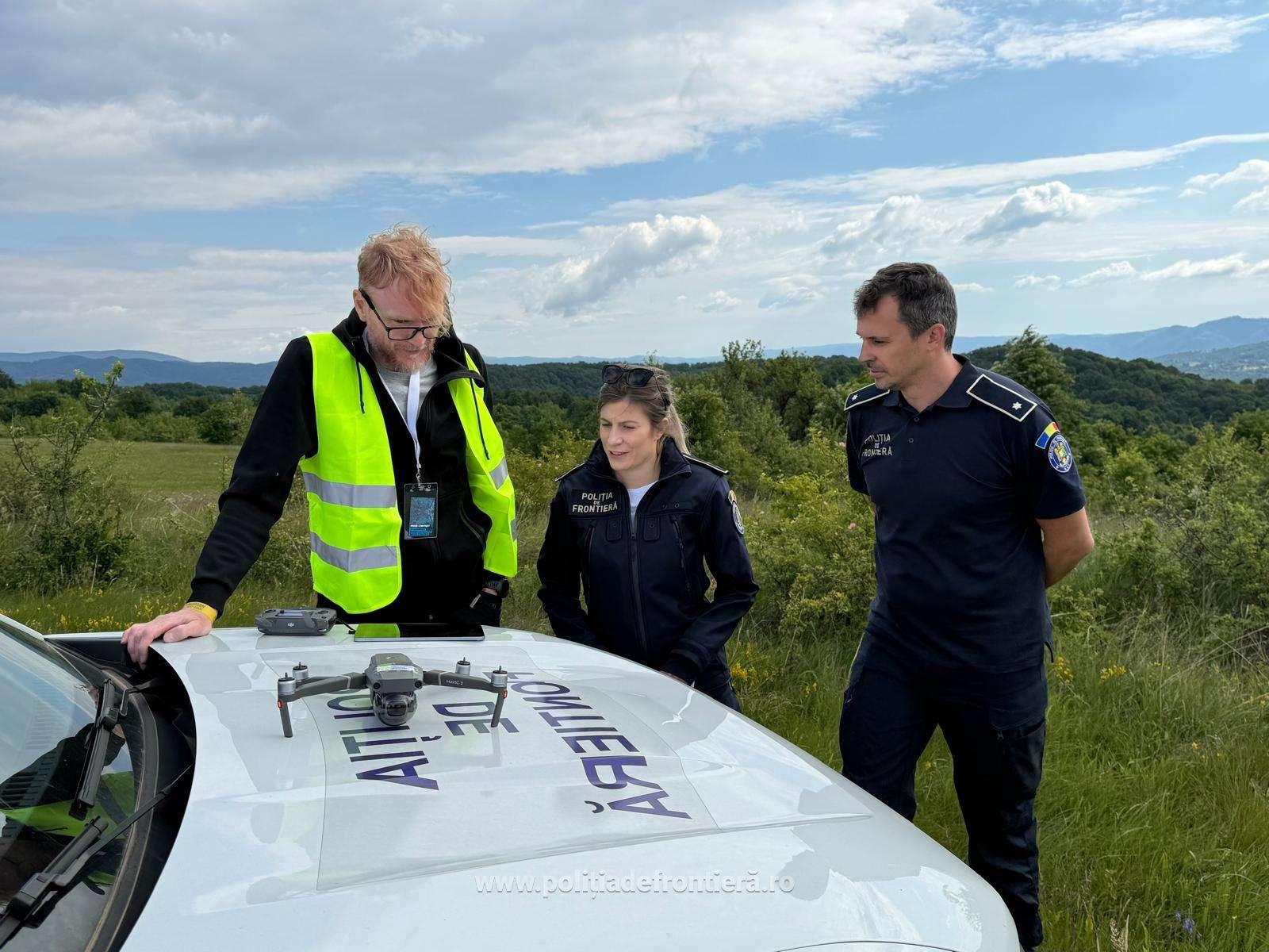
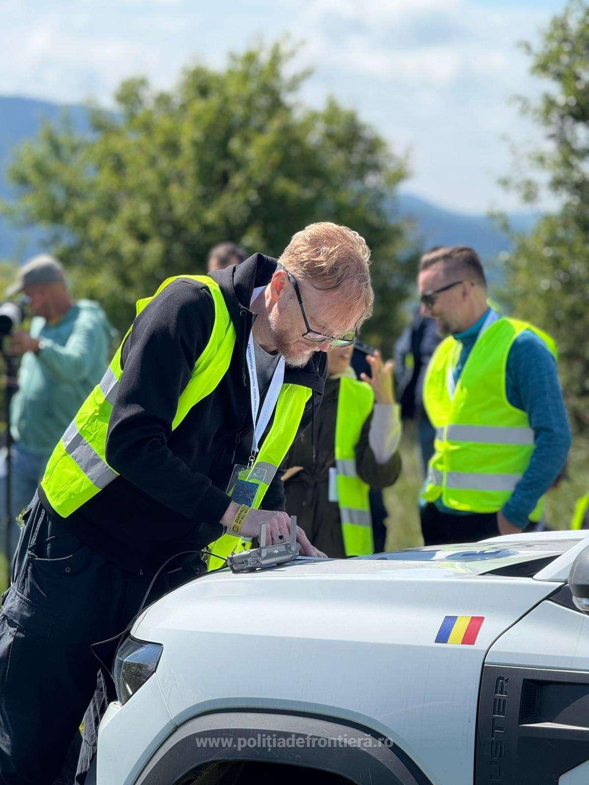
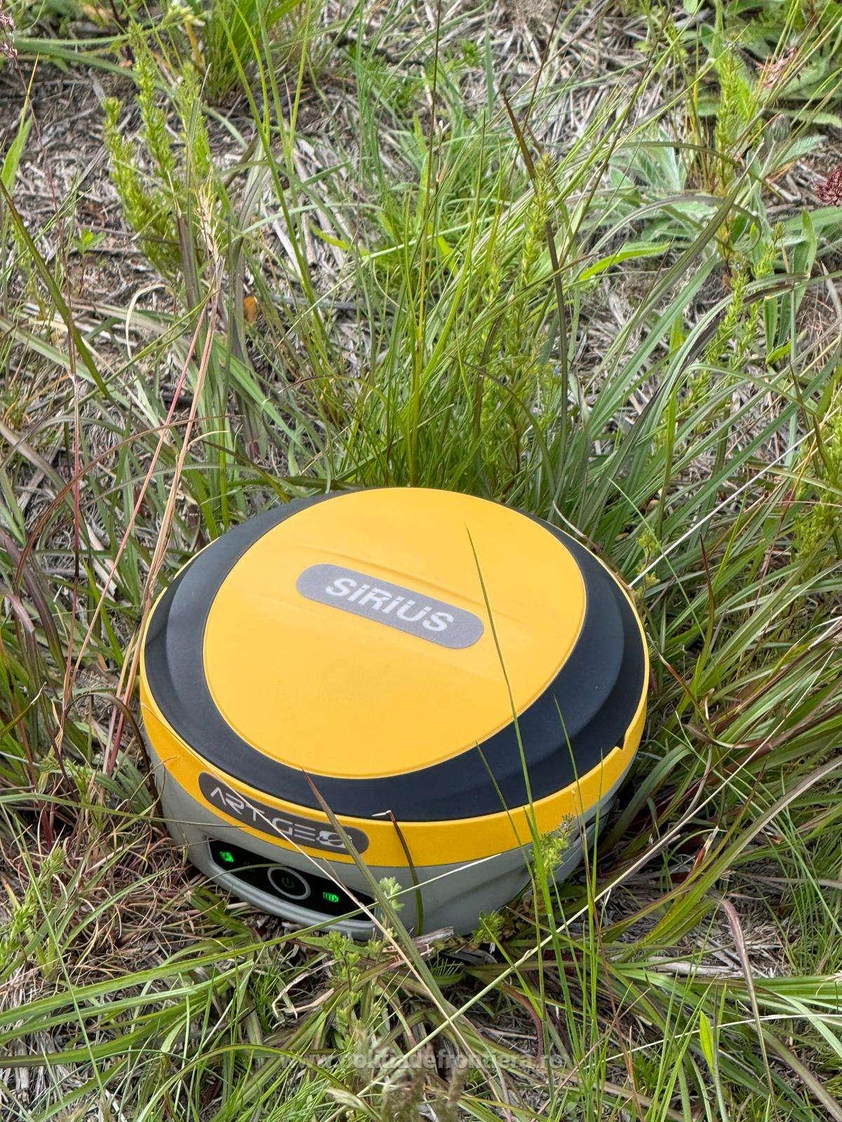
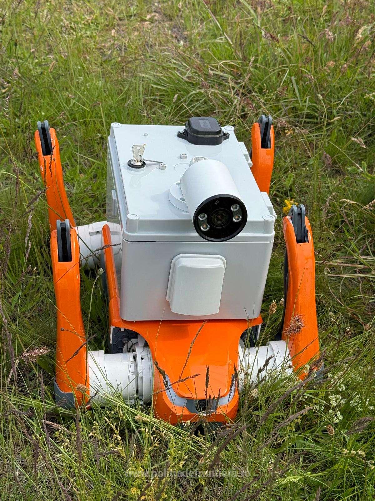
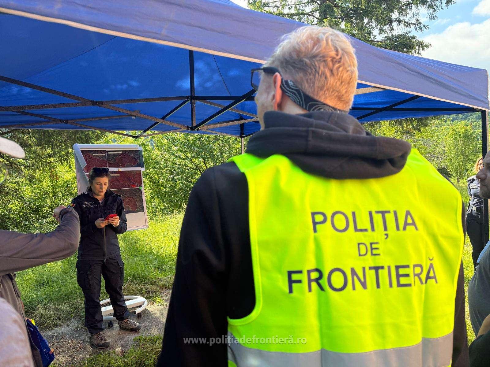
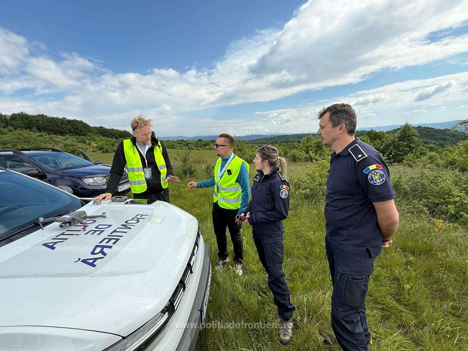
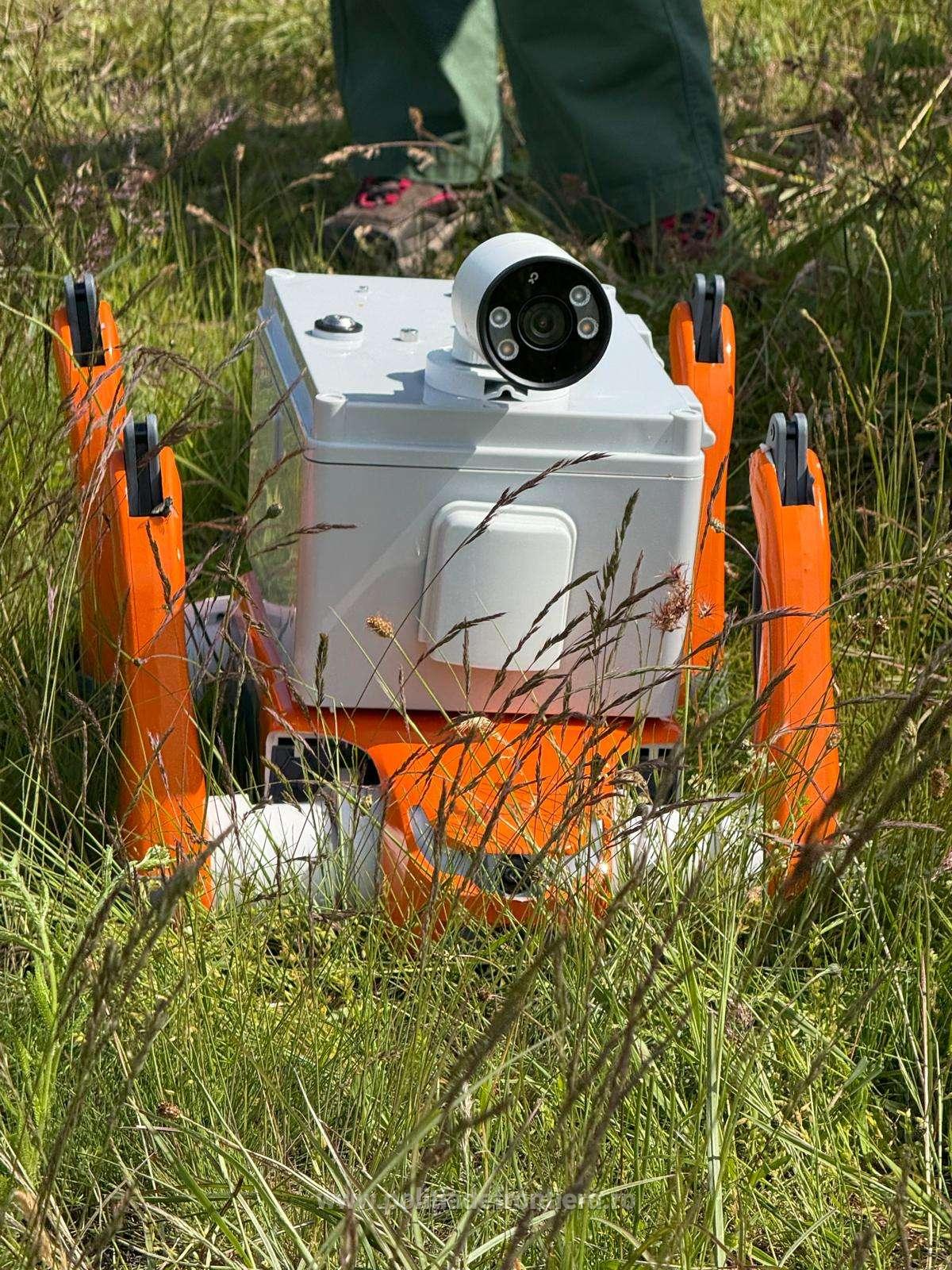
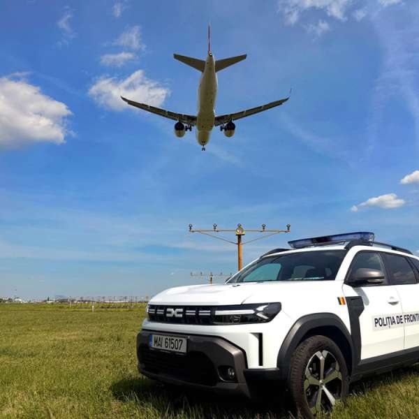
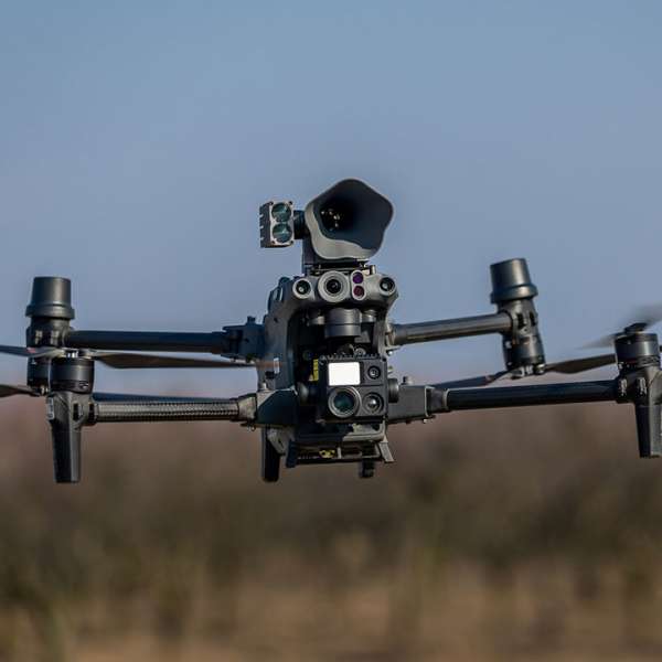
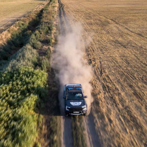
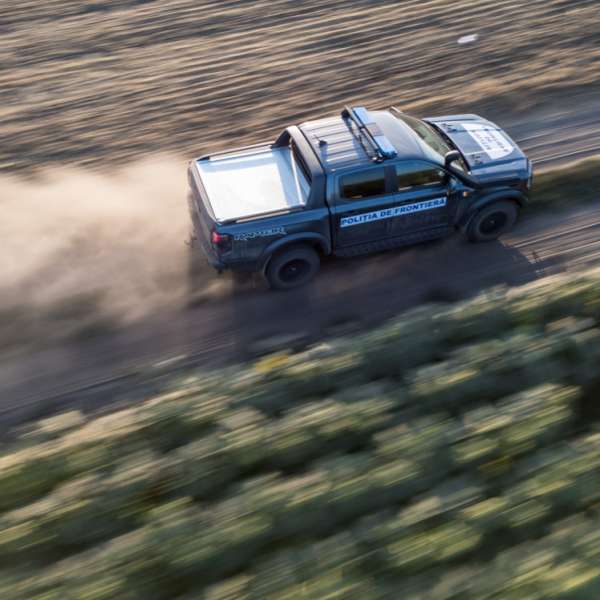
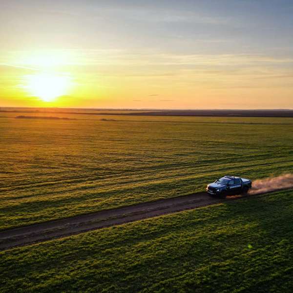
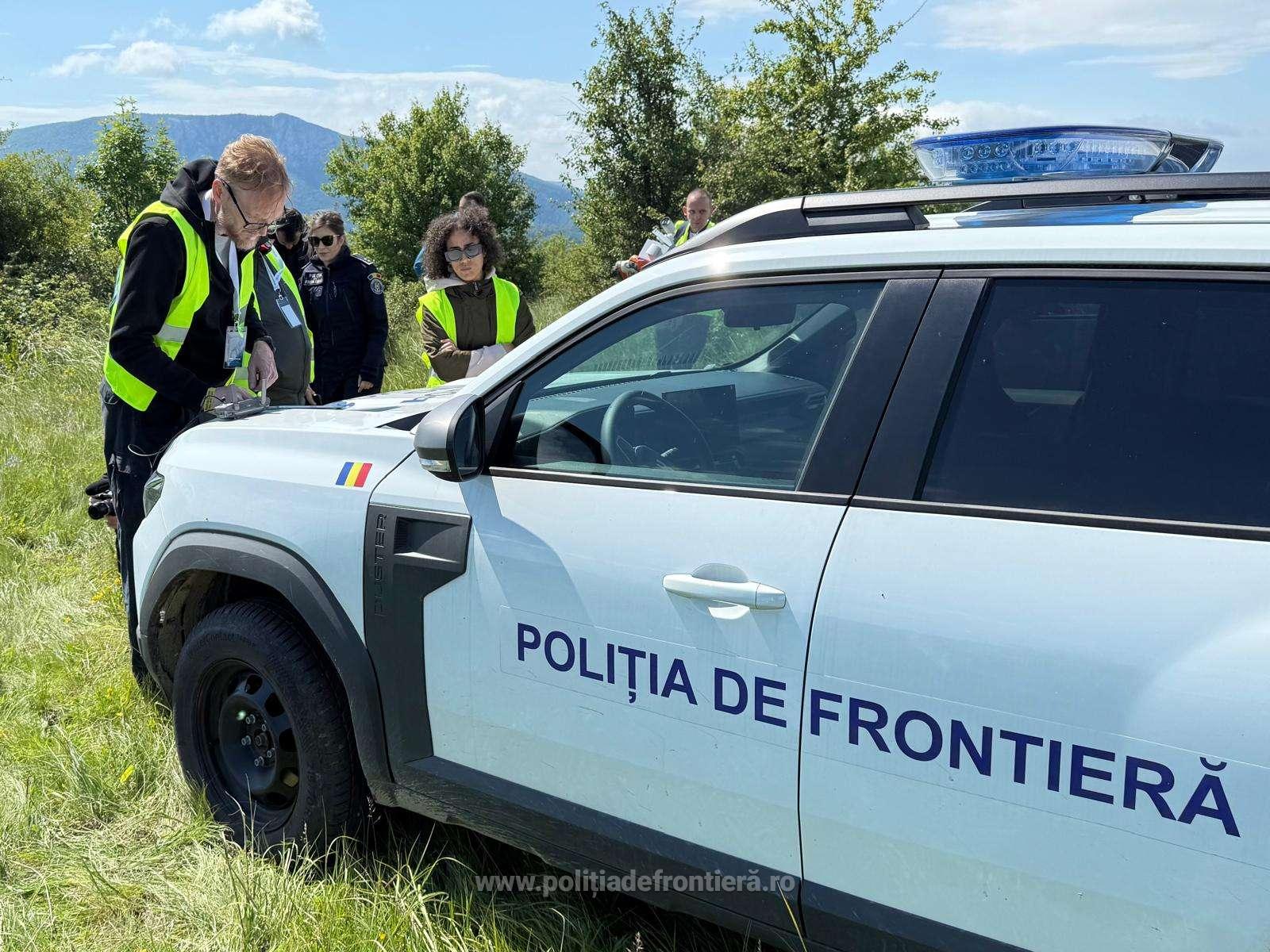
The stage organized in Romania has a major practical importance: the collection of data from the field. FRONTEX, with the support of the Romanian Border Police, has provided a representative area of the external border (fictitious as a line, but real as a terrain), on the basis of which the participating teams will test their ability to build accurate and functional digital models. Unmanned aerial systems (UAS), satellite data and other sensors – all are integrated into the systems developed by the competitors
Drones, sensors, 3D scanners, robotic systems or satellite data are used in the field - all integrated into their own systems developed by each team.
Three teams selected. Two on the field.
In the first phase of the competition, the participating teams proposed technical concepts for their solutions. The three most promising technical concepts – from Romania, Poland and Spain – were awarded 40,000 euros each and invited to participate in the practical phase. However, the Spanish company decided not to participate in data collection in Romania, preferring alternative sources (satellite, open-source, etc.). Thus, in the field, the activity is carried out by: the Institute of Geodesy in Poland – a research institution with advanced expertise in topographic modeling and a Romanian topography company from Buzău, specialized in digital cartography and applied GIS solutions.
Both teams are self-financing their participation in this stage, using the prizes previously won.
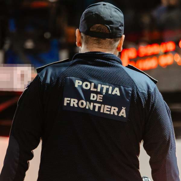
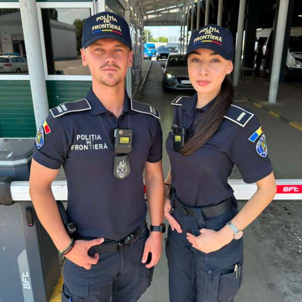
The Role of the Romanian Border Police
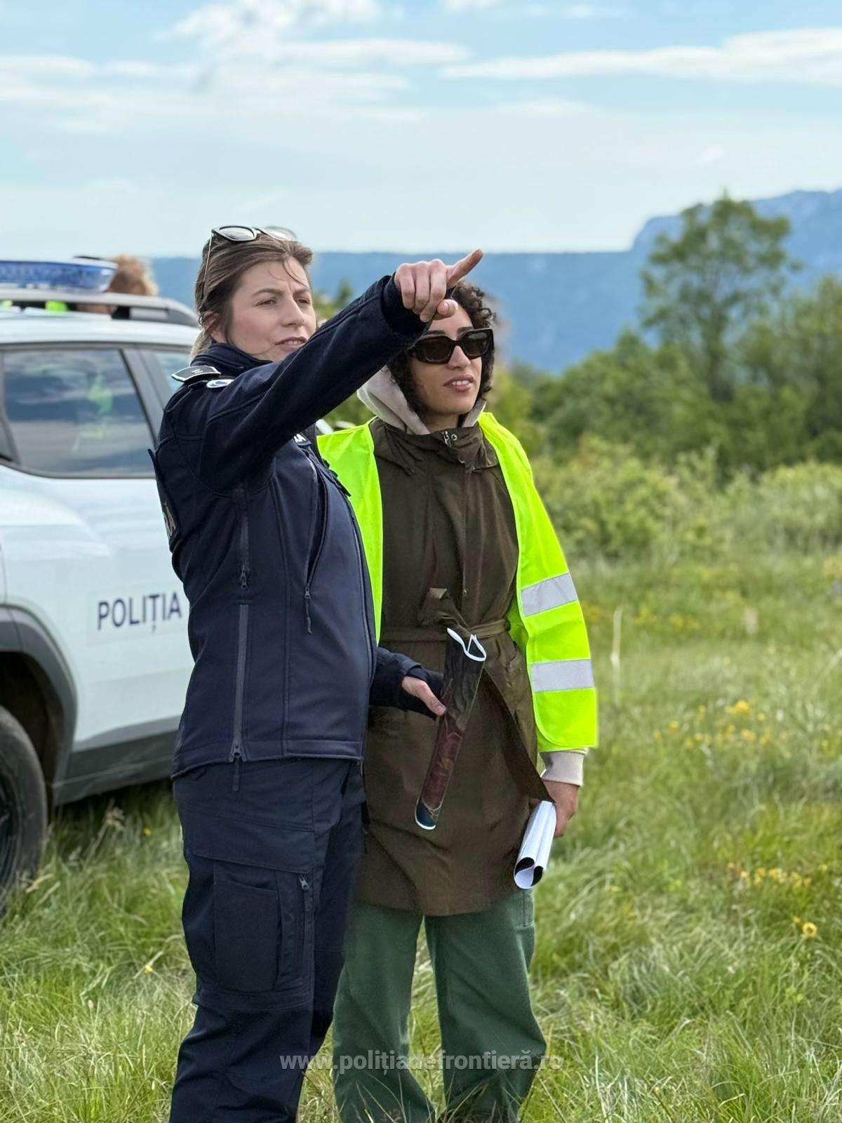
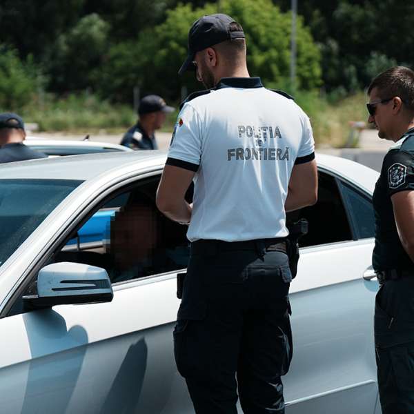
The Romanian Border Police participates as a strategic partner in this endeavor, providing logistical support, access to the field, but especially operational expertise - an essential element for the solutions developed to reflect the realities on the ground and the mode of action of the border authorities.
For solution developers, interaction with PFR professionals provides vital information about how real operations are conducted, including responding to different types of threats or effectively using surveillance equipment.
What's next?
On June 23, each team will enter the final stage: testing their solution in simulated scenarios, with varying degrees of difficulty, generated in real time. The goal is to verify whether the proposed solutions work effectively in a virtual environment that reproduces real border situations as faithfully as possible.
The final ranking will be determined based on each team's performance, with prizes of 80,000, 60,000 and 40,000 euros for 1st, 2nd and 3rd places.